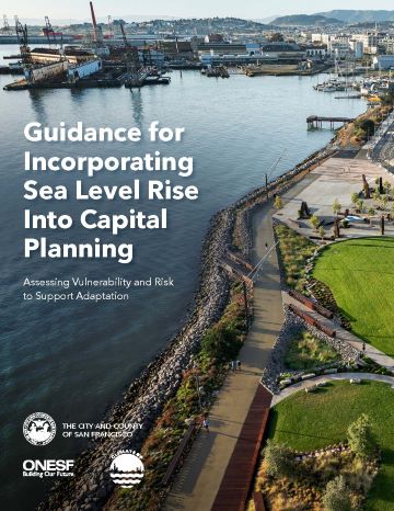
Sea Level Rise Guidance for Capital Planning supports the assessment of vulnerability, risk, and adaptive capacity of capital assets to sea level rise. The purpose of this assessment is to develop City assets that are better prepared for rising sea levels and thereby protect lives, the environment, property, and public investment.
Departments responsible for proposed capital projects that are located within the Sea Level Rise (SLR) Vulnerability Zone* and costing more than $10 million should complete the checklist available below during the project’s planning and preliminary design phase (no later than 30% design).
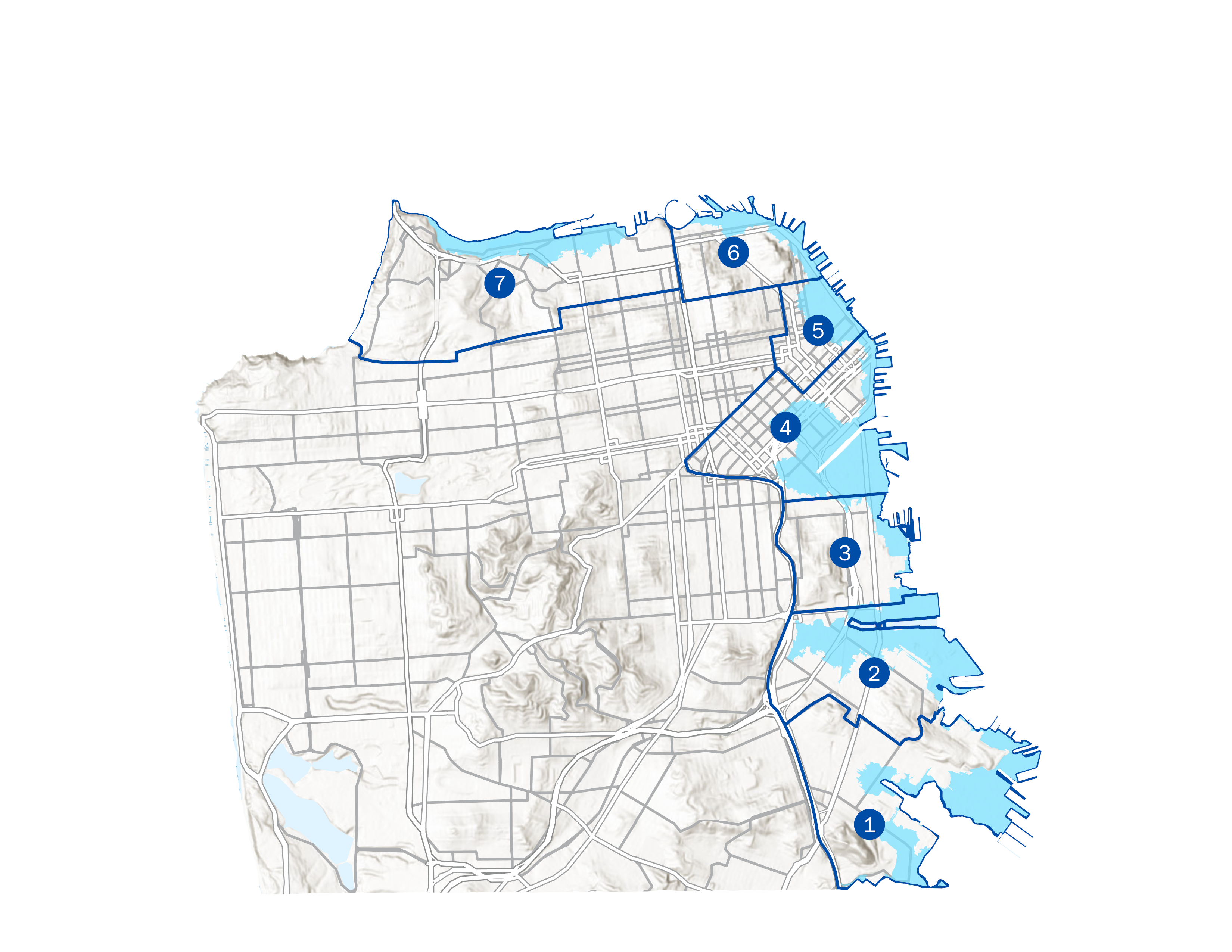
*The SLR Vulnerability Zone represents the area potentially inundated by a very high SLR scenario plus a 100-year storm in the year 2100.
Sea Level Rise Checklist (UPDATED)
Sea Level Rise Checklist Instructions (NEW)
Guidance for Incorporating Sea Level Rise into Capital Planning (UPDATED)
Digital SLR Checklist (Coming soon)
Sea Level Rise Guidance Training Presentation (Coming soon)

Submission Steps
- Prior to including a project in the ten-year Capital Plan, a bond program, a capital budget or supplemental request, verify if it is in the SLR Vulnerability Zone and costs more than $10 million. If yes to both, continue to step 2.
- As soon as feasible during the project’s planning and preliminary design phases, complete the SLR Checklist. It is generally feasible to complete the checklist when a project has defined objectives, scope, and scale. It should be submitted at no later than 30% design.
- In cases where projects are at an early stage of development or within a program that does not have specific information but are or might be within the SLR Vulnerability Zone, inform the capital planning staff and the City Engineer of an estimated timeline for when specific projects will be defined and the checklist will be completed.
- Departments are recommended to re-submit a revised checklist when projects have experienced major changes (for example, change in location or footprint, change in planning horizon, or change in adaptive capacity).
Submission Tools
Ground elevation Interactive maps:
-
To view the Digital Elevation Model (DEM), select the neighborhood in which your project is located below. Pan and zoom in sufficiently on your project site using the DEM visualization tools to select and record the lowest ground elevation on the project site.

1 - Bayview South / Hunters Point
2 - Bayview North / Islais Creek
3 - Potrero Hill / Central Waterfront
4 - South of Market / Mission Bay
5 - Financial District
6 - North Beach / Fisherman’s Wharf
7 - Marina and Presidio
Water levels interactive map:
- Pan and Zoom using the water levels visualization tool to select and record the relevant elevations closest to your project location.
- Water levels visualization tool (all neighborhoods)
Background
“Guidance for Incorporating Sea Level Rise into Capital Planning in San Francisco” was originally adopted by the Capital Planning Committee on September 22, 2014; revisions and a supplement were adopted on December 14, 2015; and an update was produced on January 3, 2020.
Key Contacts
For general inquiries
Melissa Higbee, Resilience Program Manager
Melissa.higbee@sfgov.org
For mapping and data questions
Alex Morrison, Resilience GIS Analyst
alex.morrison@sfgov.org
For assistance with the checklist
Oliver Iberian, San Francisco Public Works
Oliver.Iberian@sfdpw.org

